
LiDAR, Point Cloud & Mapping
Professional drone survey capture for roofs, buildings and wider sites.
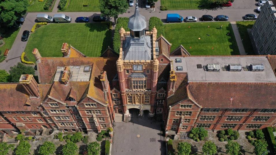
Drone Roof Inspections
High-level visual inspections for roofs, gutters, chimneys, elevations and other hard-to-reach areas.
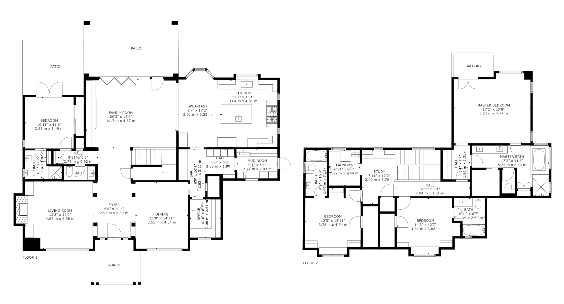
Matterport Virtual Tours & Floor Plans
Immersive 3D walkthroughs and floor plans for homes, commercial spaces and property marketing.
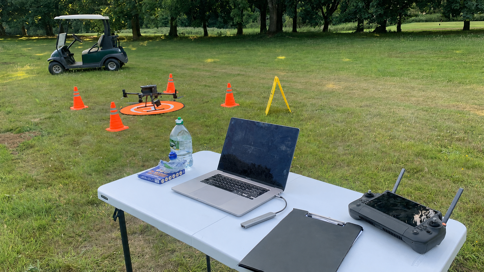
Drone Inspections, Mapping & Visual Data Capture
Practical drone services for inspection, surveying, and visual records
Droneworks 360 provides drone-based visual data capture, inspections and 3D documentation for buildings, land and complex sites.
We help clients understand condition, layout and change through clear aerial imagery, spatial data, virtual tours and digital building records.
Our services include:
- Aerial Drone Photography & Video
- Drone Roof Inspections
- LiDAR 3D Scanning & Mapping
- DW-360 Virtual Tours & 3D Spaces
For Matterport virtual tours, 3D property scans, floor plans and digital building records, visit our DW-360 Virtual Tours & 3D Spaces page.
CLEAR VISUAL DATA
We capture detailed aerial imagery, spatial data, and 3D visual records that make buildings and sites easier to understand. From roof condition to site layout, our outputs provide a clear visual reference that supports planning, inspection, and decision-making.
HARD-TO-ACCESS MADE SIMPLE
Drones allow us to document areas that are difficult, slow, or impractical to reach from the ground. Roofs, elevations, land, and large sites can be captured quickly, without disruption, and without the need for temporary access solutions.
REUSABLE, SHAREABLE OUTPUTS
Our work produces visual records that can be reused across teams and over time. Imagery, models, and datasets can support reports, collaboration, future surveys, marketing, or baseline records without repeated site visits.